The Influence of Geography on Political Boundaries
24 August 2025
Ever wondered why countries look so oddly shaped on the map? Some have squiggly edges, others stretch across massive landscapes, and a few are tiny dots in the ocean! All of this has a lot to do with geography. In fact, geography has been one of the most powerful forces shaping political boundaries throughout history—and it continues to play that role even today.
Let’s dive into how mountains, rivers, deserts, and even climate can dictate how humans divide the world. Grab your metaphorical hiking boots because we’re about to travel through terrain that shaped the borders of empires, nations, and communities.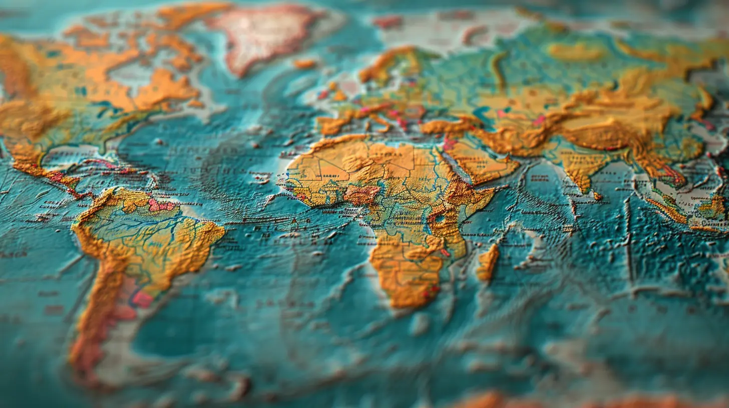
What Are Political Boundaries, Anyway?
Before we go globetrotting through geography, let’s clear one thing up—what exactly are political boundaries?In simple terms, these are imaginary lines drawn across the Earth’s surface that separate one political unit from another—think countries, states, or even cities. These lines might be man-made, but they aren’t always drawn randomly. Often, they reflect deep-rooted natural features.
The Geography-Politics Connection: A Long Love Story
The idea that geography influences politics isn’t new. In fact, it’s a concept that's been around for centuries. Strategists, rulers, and explorers have always paid close attention to the physical terrain when carving out their territories.How? Let’s Look at a Few Key Factors:
1. Mountains: Nature’s Mighty Walls
Mountains are like Earth’s natural fortresses. They’ve often served as protective barriers that define borders between regions or even entire countries. Take the Himalayas, for instance. These monstrous peaks form a natural boundary between India and China—an obstacle so formidable that it’s nearly impossible to cross without modern technology.Similarly, the Alps have long separated southern Europe (Italy) from the rest of the continent. Mountains don’t just serve as barriers; they also affect culture, language, and trade, all of which feed into how regions develop politically.
2. Rivers: Lifelines That Divide and Unite
Rivers are fascinating creatures of geography. On one hand, they’ve connected civilizations—think of the Nile or the Danube. On the other, they've frequently been used as natural borders. Why? Because they’re visible, difficult to cross in earlier times, and often formed a clear line in the sand (or water, in this case).For example, the Rio Grande forms a large part of the boundary between the U.S. and Mexico. In Europe, the Rhine River has historically acted as a political divider. But rivers can be tricky too; they shift over time, which can lead to disputes. That’s how many border conflicts are born.
3. Deserts: Empty Yet Defining
Think deserts are just empty wastelands? Think again. Deserts have played big roles in shaping political arenas. Their harsh, unforgiving climates make them tough to cross and even tougher to live in.Take the Sahara Desert, for example. It not only separates North Africa from Sub-Saharan Africa geographically but also culturally and politically. Countries on either side developed with vastly different influences due in part to that massive sandy barrier.
4. Oceans and Seas: Dividers with Depth
You might not think of oceans as borders, but they’re among the oldest and most effective ones around. Islands naturally lend themselves to political independence because of the waters that isolate them.Look at the U.K.—an island nation whose geography gave it both security and the space to develop its own identity. Japan, too, has had its geography protect and shape its culture and politics for centuries. On the flip side, proximity across the sea can also create tension, as seen in maritime disputes in the South China Sea.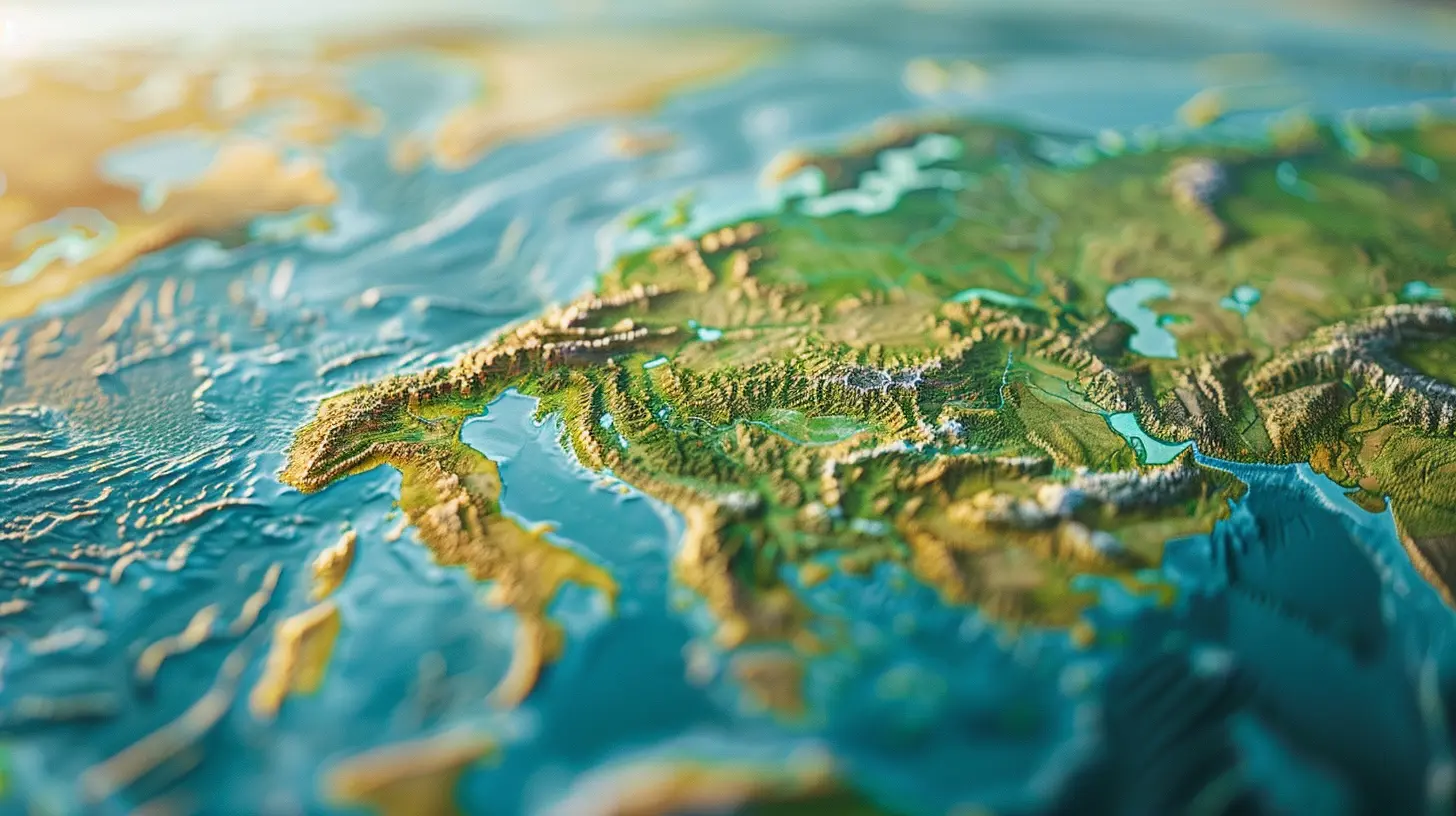
Historical Case Studies: Geography in Action
Now that we’ve discussed the geographic features, let’s walk through a history lesson (don’t worry, this one doesn’t come with a pop quiz). These examples show how geography and boundaries are intertwined.The Berlin Conference and Africa’s Arbitrary Borders
In the late 1800s, European powers held the Berlin Conference to divide Africa among themselves. But here's the kicker: they drew lines with little regard for rivers, mountains, or tribal regions. Geography took a backseat, and artificial borders were born.Fast-forward to today, and many of the continent’s political tensions can be traced back to those ignored natural barriers. Tribes were split, and rivals were lumped together, all due to boundaries that had nothing to do with the land itself.
The Great Wall of China: A Political Boundary Reinforced by Geography
China’s Great Wall might seem like just a historical monument, but it’s tied deeply to both geography and politics. Built along ridges and natural terrain, it wasn’t just a wall—it was a political statement. It defined territory and deterred invaders, with the rugged geography lending a massive helping hand.The Andes and South America’s Western Divide
The Andes are like South America’s spine, running along the continent's western edge. These mountains have significantly influenced the spread of populations, trade routes, and political boundaries. Countries like Chile and Argentina developed in unique ways partly because of this immense natural barrier.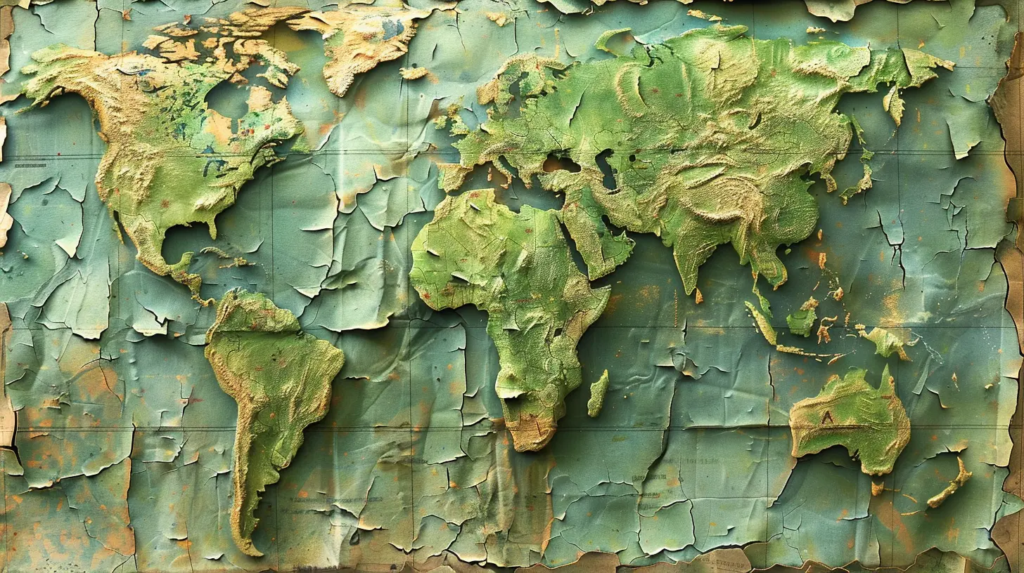
Modern-Day Impacts: Geography Still Matters
Think all this is just historical fluff? Nope. Geography still has a say in how countries draw lines and manage relationships.Border Conflicts and Natural Resources
Many ongoing disputes are centered around rivers and mountains. For example, India and China still wrestle over border areas in the Himalayas. Why? Because those areas aren’t just remote—they’re also rich in resources and strategic advantages.Climate Change and Shifting Boundaries
As sea levels rise, some island nations face the possibility of disappearing completely. Scientists and political leaders are already debating what happens to a country's political boundary when its land is underwater. Sounds like science fiction, but it’s a real geopolitical dilemma.Technology Shrinks Geography, But Doesn’t Erase It
Sure, we have Google Earth and fighter jets, but physical geography still frames international relations. Even military strategies and trade routes follow natural features because terrain can’t be totally ignored—not yet, anyway.Why This All Matters to You
You might be thinking, “Cool history, but why should I care?” Well, understanding the influence of geography on political boundaries helps explain current events, global conflicts, and even economic trends.Ever wonder why some nations are constantly at war? Or why certain regions can’t seem to get along politically? Often, the answers lie in mountain passes, desert lines, or river deltas – physical elements that have shaped human interaction for centuries.
Wrapping Up: Geography Isn’t Just Background—It’s the Blueprint
At first glance, physical geography and politics might seem like apples and oranges. One is all rocks and rivers, the other all laws and leaders. But in truth, they dance together all the time. Mountains stand tall not just in landscapes but in legislative zones. Rivers do more than water crops—they water the roots of political alliances and separations.Geography has always quietly pulled the strings behind political theaters, and ignoring that relationship is like trying to bake a cake without acknowledging the flour. It just won’t work.
So next time you pull out a map—physical or political—take a moment to notice the natural lines that helped trace those borders. You’ll see the Earth in a whole new way.
all images in this post were generated using AI tools
Category:
Social StudiesAuthor:

Eva Barker
Discussion
rate this article
2 comments
Annabelle Mitchell
Geography shapes political boundaries significantly, influencing governance, culture, and resource distribution across regions.
April 19, 2026 at 10:50 AM
Eva Barker
Absolutely. Geography plays a crucial role in defining not just borders but also the dynamics of governance and cultural identity. It's fascinating how landforms, climate, and resources can dictate regional differences and conflicts.
Mitchell McConkey
This article compellingly illustrates how geography shapes political boundaries, influencing governance, culture, and conflict. Understanding these connections is crucial for comprehending current international relations and fostering informed discussions about global issues. Insightful read!
September 20, 2025 at 3:18 AM
Eva Barker
Thank you for your engaging feedback! I'm glad you found the article insightful in exploring the connection between geography and political boundaries. Your emphasis on its relevance to current international relations is greatly appreciated!